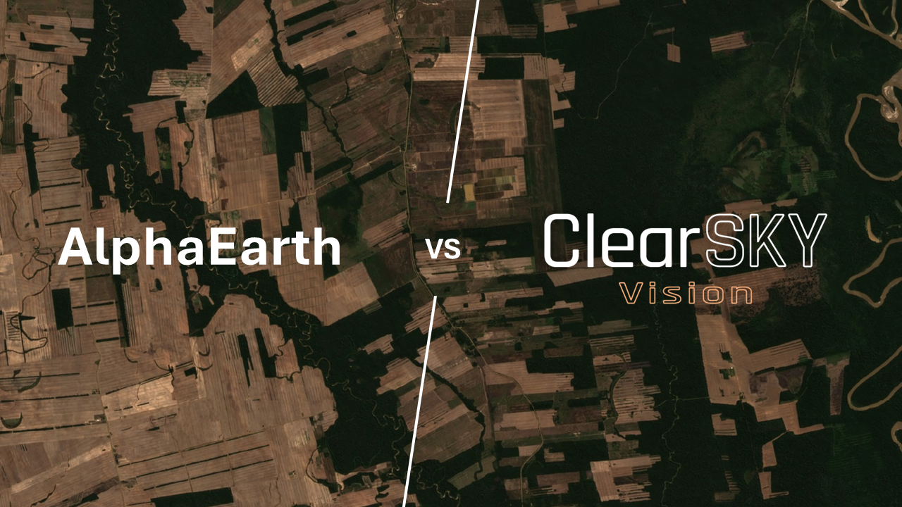
ClearSKY vs Planet Fusion Monitoring: Daily Imagery Without the Guesswork
2025-09-04 · 6 min read · ClearSKY · Data Fusion · Sentinel-2 · Pricing
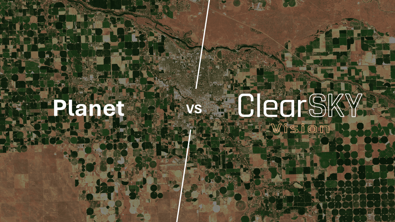
TL;DR: Planet Fusion Monitoring delivers a uniform 3 m daily layer by harmonizing multiple sensors and filling gaps. ClearSKY delivers a date-labeled image built from many observations across SAR and optical sources, with newer data weighted higher and no forward interpolation. ClearSKY is neutral and satellite-agnostic, offers transparent pricing with significant quantity discounts, and supports very small AOIs from 1 km².
Why these two get compared
Both services try to make “daily” useful in cloudy regions, but they optimize for different truths. Planet Fusion Monitoring publishes a single, radiometrically consistent, daily surface-reflectance layer at about 3 m. It blends multiple sensors and fills gaps so the stack stays complete. ClearSKY publishes a date-specific image that is assembled from a large pool of observations around that date. We pull in hundreds of optical and SAR inputs when available, we weight the freshest information more heavily, and we never borrow pixels from the future. The goal is a product that reflects conditions for the named date, while staying robust when weather gets in the way.
Sensors and what that means in practice
Planet operates its own optical CubeSats and blends public missions such as Sentinel-2 and Landsat, then harmonizes everything so the daily layer looks uniform. This is why the feed is “cloud- and gap-free” on the calendar, even when the sky was not.
ClearSKY is a neutral, satellite-agnostic service. We do not own spacecraft. We are free to use whatever mix of optical and SAR sources best explains the scene for the date you care about. Instead of trying to erase the weather with a single model, we assemble evidence from many overlapping observations and let fresher data speak louder.
Resolution versus noise
Resolution is not the same as reliability. A 3 m pixel resolves small features, but CubeSat constellations can show more sensor-to-sensor and view-angle variability, which is why strong harmonization is required to look stable from day to day. That smoothing is excellent for clean time series, yet it can soften sharp, real-world changes.
ClearSKY’s image is delivered at about 10 m. It aligns naturally with the Sentinel-2 grid and uses SAR to keep geometry and edges intact when optical is marginal. The result is a steadier, date-anchored signal at parcel scale, with fewer modeling artifacts and less need for heavy temporal smoothing.
Clouds, shadows, and the role of SAR
Both offerings remove clouds. Planet keeps the stack complete by masking clouds and then filling the gaps to maintain a daily surface-reflectance layer. ClearSKY uses SAR to carry structure through cloud, then merges any same-day optical that survived and additional near-date observations if they improve completeness. Because SAR preserves boundaries, harvest cuts, water extent, roads, and other edges, the fused image keeps operational details that matter for agronomy, forestry, and inspections.
Time fidelity and latency
If your question is “what did it look like on that date,” time fidelity matters more than uniformity. ClearSKY weights new observations higher, it draws on a large pool of recent data, and it never synthesizes pixels from later dates. That makes audits and incident timelines easier to defend. Planet’s value is different. The promise is a daily, uniform layer that powers models and dashboards without weather-driven holes. Both can be delivered quickly. The choice is about which truth you need.
Satellites used, at a glance
- Planet Fusion Monitoring: Planet’s optical CubeSats blended with public missions such as Sentinel-2 and Landsat, harmonized into a daily 3 m surface-reflectance product with gap filling.
- ClearSKY: Satellite-agnostic fusion of optical missions such as Sentinel-2 and SAR sources, built from many observations around the target date, with newer data weighted higher, and with no forward interpolation.
Pricing, commitments, and minimum areas
Commercial imagery is often sold by subscription and area under management. Planet Fusion Monitoring typically follows that model, which is convenient for large programs and modeling pipelines, although minimum areas and quotas are common.
ClearSKY is deliberately simple. Pricing is transparent on the website. Orders can start from 1 km² for small areas. There are significant quantity discounts as your monthly usage grows, so unit costs fall at higher volumes. If you manage a handful of parcels or a compact harvest block, you can buy only what you need. If you manage a region at scale, the discounts apply automatically.
So, when should you pick which?
Choose Planet Fusion Monitoring if you need a uniform 3 m surface-reflectance layer every day, you run models that expect a complete stack, and you are comfortable with harmonization and interpolation to bridge clouds.
Choose ClearSKY if the date itself matters, if you want SAR-backed structure under cloud, if you prefer transparent pricing with strong quantity discounts, and if you need the flexibility to order very small AOIs.
Quick comparison table
| Dimension | Planet Fusion Monitoring | ClearSKY |
|---|---|---|
| Core idea | Uniform daily 3 m surface-reflectance built by harmonizing multiple sensors and filling gaps | Date-specific fusion from many SAR and optical observations around the target date, newer data weighted higher, no future pixels |
| Typical use | Modeling, mapping, dashboards that need complete daily coverage | Operations and compliance that need a defensible date with cloud-robust detail |
| Cloud strategy | Mask clouds, then gap-fill to keep daily continuity | Use SAR to carry structure through cloud, merge same-day optical, add near-date observations when they add value |
| Resolution and behavior | About 3 m, high detail, relies on harmonization and interpolation for uniformity | About 10 m, stable parcel-scale signals with less temporal smoothing |
| Pricing and AOI | Subscription and area-based, larger AOIs and quotas are common | Transparent pay-as-you-go, orders from 1 km², significant quantity discounts |
| Vendor posture | Vertically integrated, uses its own satellites plus public data | Neutral and satellite-agnostic, uses whatever best explains the scene that day |
Bottom line
“Daily” can mean two different things. It can mean a uniform layer that remains complete through harmonization and interpolation. It can also mean a cloud-robust image tied to a real date that is assembled from many observations and weighted toward what is newest. Both have value. The right fit depends on whether you are optimizing for consistency or truth to time, and how much area you actually need to buy.
FAQ
Does Planet Fusion “invent” pixels?
No. Planet documents temporally driven gap filling that can include forecasting in forward-fill mode. The product also exposes QA layers so you can inspect where gap filling occurred.
Does ClearSKY ever use future data?
No. Historical outputs are strictly backward-looking. We do not use future observations when producing past dates.
What resolution and bands are included?
Planet Fusion: 3 m, four bands (blue, green, red, NIR).
ClearSKY: Sentinel-2–like Level-2A bands at about 10 m.
Can I buy very small areas?
Yes. ClearSKY supports orders from 1 km². For very small AOIs, our minimum-charge rules keep billing predictable.
Where can I see pricing before I talk to sales?
Use our pricing calculator. Pricing is transparent, and volume discounts apply automatically as usage grows.
Planet and Planet Fusion Monitoring are trademarks of Planet Labs PBC.