Sentinel-2 Bands at Level-1 and Level-2: Wavelengths, Uses, and Comparisons
2025-08-07 · 8 min read · Sentinel-2 · TOA · BOA · Landsat · Bands · Red edge · HLS · Sen2Cor · LaSRC · SCL · AOT · Band 10 · B8 vs B8A
TL;DR: Sentinel-2 MSI provides 13 bands from coastal blue to shortwave infrared at 10, 20, and 60 m. Level-1C is top-of-atmosphere reflectance. Level-2A is bottom-of-atmosphere surface reflectance with quality layers. For most cross-date analytics use Level-2A. For time-critical tasks or scenes where correction may struggle, Level-1C can be more stable. Sentinel-2 stands out with three red-edge bands and a narrow NIR.
Level-1C vs Level-2A in one paragraph
Level-1C is radiometrically calibrated top-of-atmosphere reflectance in UTM tiles. Level-2A is surface reflectance derived from Level-1C using an atmospheric correction and is delivered at the same native pixel sizes. Choose Level-2A for consistent comparisons across dates and scenes. Choose Level-1C when you need the lowest latency or expect the correction to struggle in snow, heavy aerosols, bright sand, or very low sun.
BOA algorithms in practice
Sentinel-2 Level-2A uses Sen2Cor. Sen2Cor also outputs AOT, water vapour, and the Scene Classification Layer. Landsat 8 and 9 Level-2 use LaSRC. If you need cross-sensor time series at 30 m, the Harmonized Landsat-Sentinel products provide a common grid and a harmonized correction.
Sentinel-2 bands at a glance
The table lists typical central wavelengths and native resolutions for Sentinel-2A and Sentinel-2B. The L2A column shows whether the band is present as surface reflectance in Level-2A.
| Band | Center (nm) | Native res | L2A? | What it is useful for |
|---|---|---|---|---|
| B1 Coastal aerosol | 443 | 60 m | Yes | Aerosol and coastal water context, haze over bright targets |
| B2 Blue | 490 | 10 m | Yes | Bathymetry in clear water, true-color composites, turbidity |
| B3 Green | 560 | 10 m | Yes | Vegetation vigor near the green peak, suspended matter |
| B4 Red | 665 | 10 m | Yes | Chlorophyll absorption, indices with NIR |
| B5 Red-edge 1 | 705 | 20 m | Yes | Early chlorophyll sensitivity, stress onsets |
| B6 Red-edge 2 | 740 | 20 m | Yes | Chlorophyll content and canopy structure |
| B7 Red-edge 3 | 783 | 20 m | Yes | Dense canopy discrimination, red-edge indices |
| B8 NIR wide | 842 | 10 m | Yes | NDVI, EVI2, biomass proxies |
| B8A NIR narrow | 865 | 20 m | Yes | BRDF and aerosol handling, fine canopy signals |
| B9 Water vapour | 945 | 60 m | Yes | Water vapour estimation to aid correction |
| B10 Cirrus | 1375 | 60 m | No | Thin cirrus detection and masking at TOA only |
| B11 SWIR 1 | 1610 | 20 m | Yes | Moisture, burn severity, cloud screening |
| B12 SWIR 2 | 2190 | 20 m | Yes | Mineralogy, residue, moisture gradients |
Which band is not in Level-2A?
Band 10 is not included in L2A because cirrus at 1.38 µm is not a surface reflectance signal. If you need cirrus screening, use B10 at L1C or rely on the L2A scene classification.
B8 or B8A for vegetation indices
Use B8 at 10 m for standard NDVI and EVI2. B8A at 20 m is narrower and useful for some red-edge workflows and BRDF handling. Do not mix B8 and B8A within one time series unless you re-tune thresholds.
How Sentinel-2 maps to Landsat 8 and 9
Landsat 8 and 9 OLI and TIRS provide a comparable Blue, Green, Red, NIR, and SWIR set, plus a 15 m panchromatic band and two thermal bands. Centers below are rounded.
| Purpose | Sentinel-2 band (nm, res) | Landsat 8/9 band (nm, res) | Notes |
|---|---|---|---|
| Coastal aerosol | B1 443, 60 m | B1 443, 30 m | Similar coastal and aerosol role |
| Blue | B2 490, 10 m | B2 ~482, 30 m | Close analogs |
| Green | B3 560, 10 m | B3 ~562, 30 m | Close analogs |
| Red | B4 665, 10 m | B4 ~655, 30 m | Indices and mapping |
| Red-edge | B5 705, 20 m | — | Sentinel-2 advantage |
| Red-edge | B6 740, 20 m | — | No direct analog |
| Red-edge | B7 783, 20 m | — | No direct analog |
| NIR | B8 842, 10 m | B5 ~865, 30 m | Landsat NIR is slightly narrower |
| NIR narrow | B8A 865, 20 m | — | Useful for BRDF and aerosol handling |
| Cirrus | B10 1375, 60 m | B9 ~1375, 30 m | Thin cirrus detection |
| SWIR 1 | B11 1610, 20 m | B6 ~1610, 30 m | Moisture and burn severity |
| SWIR 2 | B12 2190, 20 m | B7 ~2200, 30 m | Moisture and residue |
| Panchromatic | — | B8 Pan 15 m | Landsat only |
| Thermal | — | B10, B11 TIRS 100 m | Landsat only |
Cross-sensor tip
Sentinel-2 L2A uses Sen2Cor. Landsat L2 uses LaSRC. For consistent Landsat and Sentinel-2 stacks at 30 m, consider the HLS products. They reduce residual differences and share a grid.
Where PlanetScope and EarthDaily class sensors fit
Commercial constellations often trade band count for revisit or resolution. Compare by band families rather than exact nanometers.
PlanetScope SuperDove class typically offers about eight surface reflectance bands at high spatial resolution. You will often see coastal blue, blue, two greens, yellow, red, one red-edge near 705 nm, and one NIR near 865 nm. There is no SWIR or thermal. NDVI, EVI2, and basic red-edge signals work well. For moisture or burn severity, the lack of SWIR means thresholds from Sentinel-2 will not transfer directly.
EarthDaily constellation class targets agronomy and environmental monitoring with a richer spectral set than eight-band constellations. Public descriptions emphasize multiple red-edge bands and SWIR at meter-class resolution. Many Sentinel-2 style use cases move across more directly. Exact centers and counts vary by provider, so treat this as a band family guide.
What to use when
For vegetation structure and stress, the three red-edge bands plus the narrow NIR improve trait sensitivity and make indices like NDRE practical. For general crop monitoring, the 10 m Blue, Green, Red, and NIR bands produce stable NDVI, EVI2, and NIRv when processing is consistent. For moisture, burn severity, and residue detection, the SWIR pair B11 and B12 carries most of the signal. When you port to Landsat, match band purposes first, then validate thresholds. When you move to PlanetScope class data, expect strong visible and NIR performance and plan around the absence of SWIR. When you move to EarthDaily class data, look for multiple red-edge and SWIR coverage that can preserve more of your Sentinel-2 feature set.
Practical notes on resolution, scaling, and consistency
Sentinel-2 10 m bands are B2, B3, B4, and B8. Red-edge and SWIR are 20 m. Aerosol, water vapour, and cirrus are 60 m. Hold the processing level constant across dates. Resample once to a fixed grid for per-pixel alignment.
Data handling
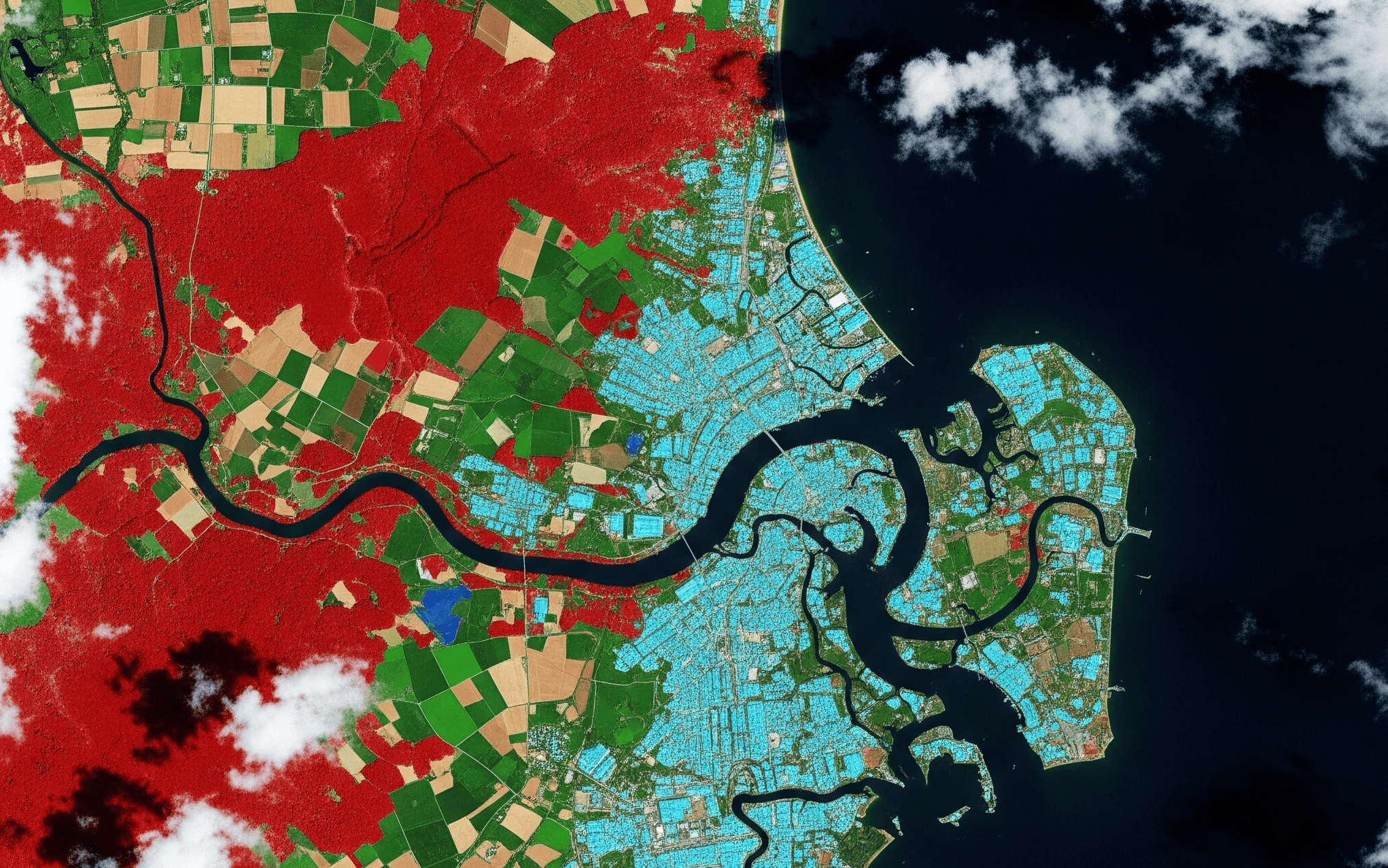
Level-1C and Level-2A products store reflectance as integers with a scale factor of 10,000. Divide by 10,000 to convert to reflectance between 0 and 1. Level-2A adds the Scene Classification Layer, aerosol optical thickness, and water vapour layers for QA and masking.
FAQ
Which Sentinel-2 bands are 10 m?
B2, B3, B4, and B8. B5, B6, B7, B8A, B11, B12 are 20 m. B1, B9, B10 are 60 m.
Is Band 10 available at Level-2A?
No. B10 is only in Level-1C. Use the L2A scene classification for cirrus or pre-screen at L1C.
What BOA algorithms are used?
Sentinel-2 L2A uses Sen2Cor. Landsat 8 and 9 L2 use LaSRC. HLS harmonizes both at 30 m on a common grid.
Should I use B8 or B8A for NDVI?
Use B8 at 10 m for standard NDVI. Avoid mixing B8 and B8A across a time series.
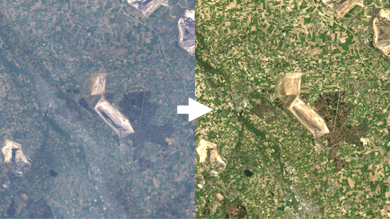
ClearSKY in practice
All ClearSKY deliveries come at 10 m across the stack so bands line up per pixel. Bands that are natively 20 m or 60 m are provided at 10 m using deep learning super-resolution or carefully chosen resampling. If you want indices alongside multispectral data, set the Bandnames field in your composite request to include the needed source bands and normalized-difference indices in one go at no additional cost. Use all to receive the full Sentinel-2 style stack, or specify exactly what you need, for example B8,B4,[B8_B4] to return NIR, Red, and a ready-to-use NDVI layer in one GeoTIFF. You can request Level-1C style inputs for speed or Level-2A style inputs for comparability and keep that choice consistent across a series.