Winter and High-Latitude Monitoring: Snow, Low Sun, and Aerosols
2025-08-15 · 5 min read · Snow · Aerosols · Sentinel-1 · Sentinel-2 · Haze · Low Sun · SAR–Optical Fusion · NRT
TL;DR: In far-north winters, optical satellites often cannot see the surface well because sunlight is weak or absent, shadows are long, and aerosols complicate corrections. SAR such as Sentinel-1 works day and night and through clouds, so it keeps the record going. Winter also brings familiar failure modes: snow confusion in masks and BOA pitfalls when atmospheric inputs are shaky.
Why winter and high latitudes are hard
Above roughly 60 to 70 degrees north in winter the sun sits very low or does not rise at all. Optical sensors depend on reflected sunlight, so signal to noise drops and long shadows dominate slopes and tall objects. Even when a scene is acquired there may not be enough light for reliable surface reflectance. Geometry becomes a second problem. Very low sun angles amplify BRDF effects, so identical fields can look different from one date to the next even when nothing changed on the ground.
There are a few helpful exceptions in the optical family. The VIIRS Day and Night Band can image clouds, snow, and sea ice under moonlight or airglow during polar darkness. It is useful context for ice edges and night lights, but it is not a substitute for daylight surface reflectance in quantitative analyses.
Learn more: Copernicus Sentinel-1 (all-weather, day/night) · ESA explainer video · NASA Earth Observatory on polar darkness
What actually fails for optical
Low illumination is the first barrier. Too little reflected radiance means unstable BOA retrievals and higher index noise. Geometry is the second. Near-horizon sun angles increase directional reflectance differences between view directions. The same parcel can swing by several percentage points in the red and NIR purely from geometry.
Aerosols add a third problem. Winter Arctic haze and long atmospheric paths make aerosol properties harder to estimate over snow and ice. Atmospheric correction can swing between over- and under-correction, which shows up as color casts, depressed vegetation indices, and seams at tile boundaries. The literature documents the seasonality of Arctic aerosol optical properties and the difficulty of aerosol retrieval over snow and ice. Background: Aerosols in the Arctic · AOD over snow and ice challenges
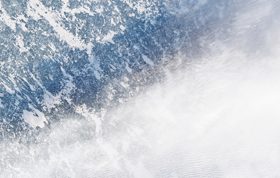
Snow itself is tricky. It is bright, it changes quickly with accumulation and melt, and wet snow behaves differently from dry snow spectrally and in the shortwave infrared. Classic cloud masks tend to over-remove valid snow or under-remove thin cloud over snow. Morphological dilation to avoid halos can erase good pixels along field edges. The time-series result is familiar: gaps when you are strict and contamination when you are permissive.
When to trust BOA in winter
BOA can work in winter when three quick checks pass. First, a dark water patch remains dark across dates. Second, a bright roof or rock outcrop has a narrow reflectance range from scene to scene. Third, neighboring tiles do not show visible seams after resampling to a common grid. If any of these fail while TOA looks steady, fall back to TOA for that time and area.
Why SAR keeps going, and what it tells you
SAR is active microwave sensing. It illuminates the surface and measures the backscatter, so it works in darkness and through cloud. This provides continuous winter coverage. Changes in backscatter reveal freeze and thaw, wet versus dry snow, roughness changes, inundation, and sea-ice state.
Processing choices matter for fair comparisons. Calibrate to sigma-nought or gamma-nought, apply radiometric terrain correction with a suitable DEM, and normalize for incidence angle. Use speckle reduction that preserves edges, for example multi-temporal filtering rather than heavy single-date smoothing. If dual polarization is available, track VV and VH separately since wet snow, vegetation, and rough water respond differently.
When daylight returns or a usable optical scene slips through, combine the streams. SAR anchors the continuity and optical adds spectral context.
Analytics patterns that hold up
Near real time monitoring benefits from TOA inputs because they arrive first and behave more predictably when the atmosphere is hard to solve. Simple normalizations help, such as using the cosine of the solar zenith angle and per-pixel quality weights. Trend analysis and reporting benefit from BOA because the physical meaning is clearer, provided you verify seasonal performance and watch for low-sun artifacts.
A clean pattern in production is to run change detection on TOA for stability, compute indices on BOA for interpretability, and use quality masks and uncertainty to reconcile differences. Another is a two-pass product. Deliver a TOA-based estimate for timeliness, then reissue a BOA-based product when atmospheric inputs improve.
Fusion that works in practice
SAR and optical complement each other in winter workflows.
- Use SAR to maintain a daily or near-daily signal of change.
- Use optical to label what changed when a clear view arrives.
- Carry forward SAR features, such as VV and VH trends and incidence-normalized backscatter, into your optical models as covariates.
- If you use coherence, remember it is sensitive to both motion and moisture. Treat sudden coherence drops as candidates for melt or surface disturbance, then confirm with optical when possible.
ClearSKY in winter
ClearSKY operates SAR–optical fusion for daily continuity in northern winters. We merge same-day passes where possible and include prior-day observations when gaps remain, never future data. Snow is handled explicitly and low-sun geometry is normalized where feasible. When requested, outputs include per-pixel source, date, and confidence so uncertainty is visible instead of hidden. Customers who need interpretability get BOA stacks for audits and agronomy, while operations and ML often run on TOA plus SAR features for stability.
FAQ
Why does my BOA time-series drift in mid-winter while TOA looks stable?
Aerosol or geometry inputs may be unreliable over snow and low sun. Prefer TOA for that period, then switch back when daylight and aerosol retrieval improve.
Can I run indices on TOA in winter?
Yes with care. Normalize for illumination and use quality masks. Expect thresholds to differ from BOA values.
Is Sentinel-1 enough on its own?
It covers continuity and detects change in winter. For interpretation you still want optical scenes when they become available.